The Municipality Hadsel consists of four islands, all of which have a wild and gorgeous nature. Hadseløya is one of those islands, with Lamlitinden being its highest peak at 656m. There are beautiful day hiking opportunities to climb Lamlitinden, either from the town of Melbu at the south shore or from the western part of the island via Finnsaeterkollen. Fortunately, the trails are not too crowded with hikers, you’ll probably see more sheep than human beings.
The roundtrip via Finnsaeterkollen and Teigvatnet
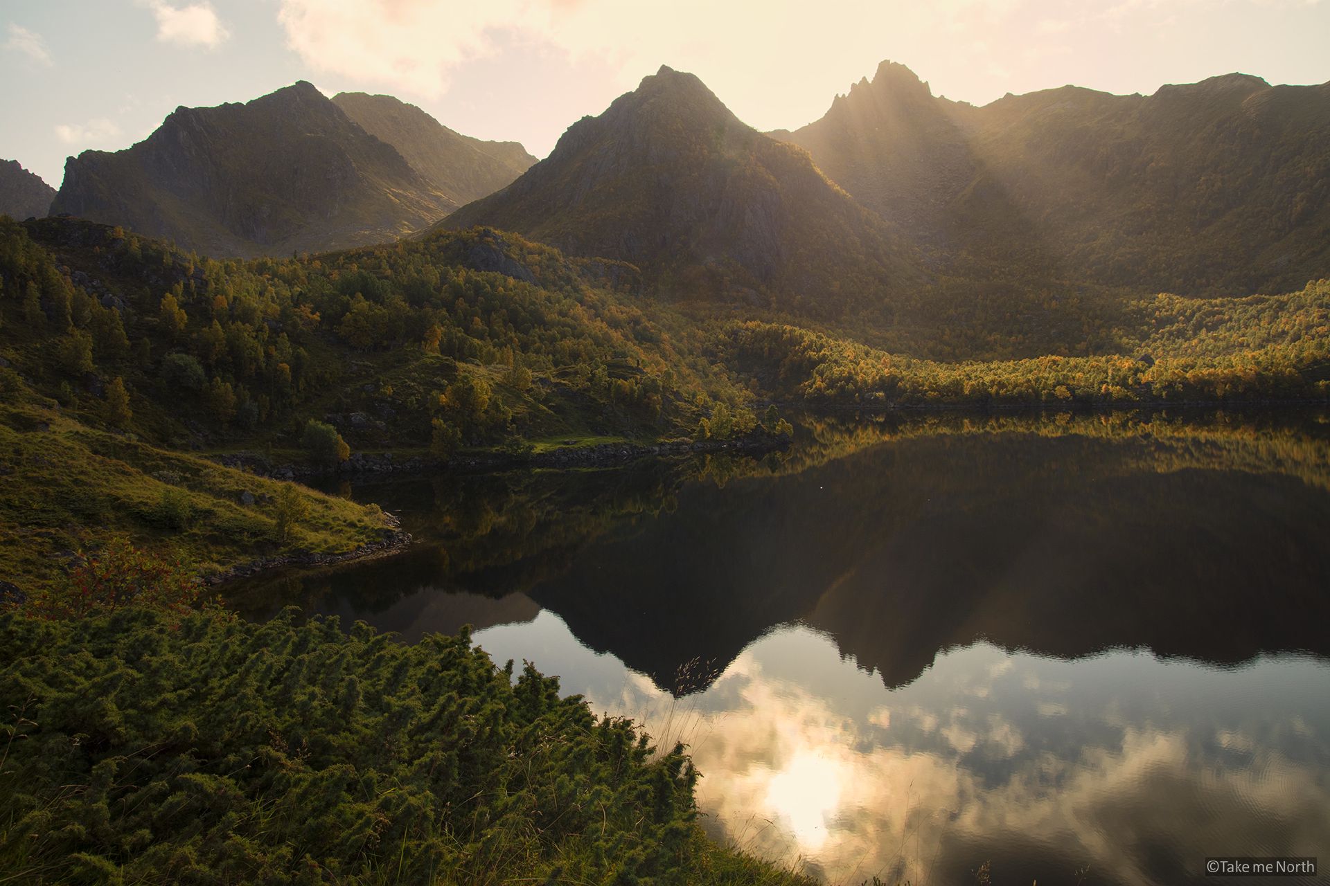
Teigvatnet seen from Finsæterkollen.
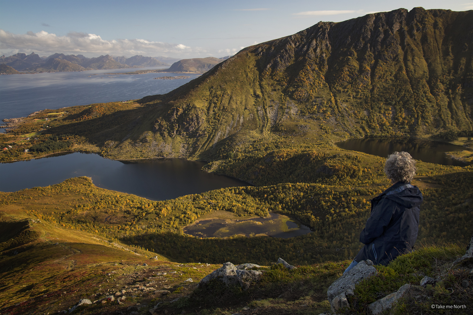
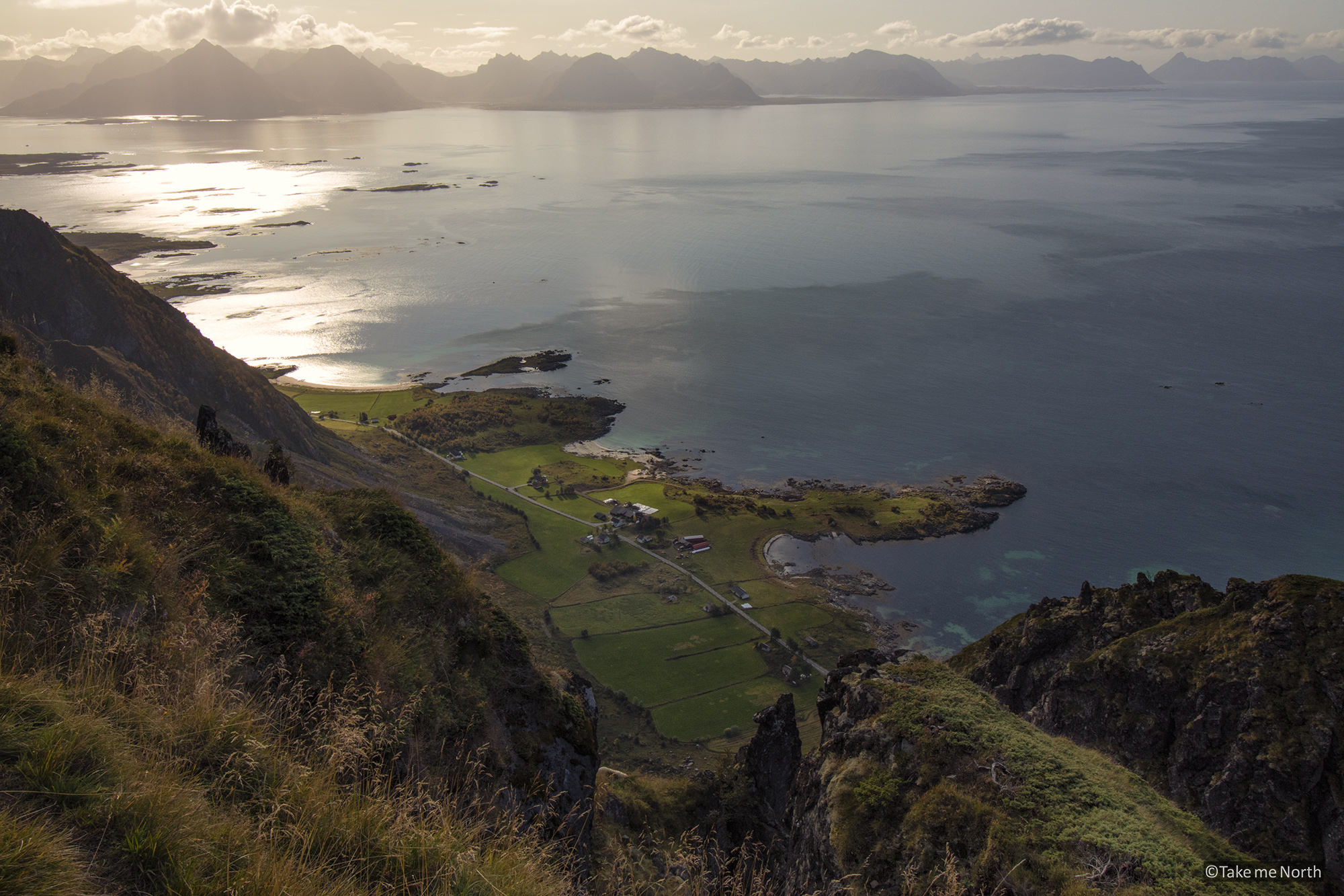
There is a beautiful trail leading up to Lamlitinden via the peaks of Finnsaeterkollen and Tanipa. A gradual incline from sea level leads up to Finnsaeterkollen at 439m. From there, the next top (Tanipa) is visible. The traverse of Tanipa is a narrow path along a deep abyss. It’s not for the faint-hearted, but the views on the farms below and the Atlantic ocean are magnificent. The mountains of the Lofoten are often visible on the horizon. After the passage at Tanipa, the final approach to Lamlitinden comes in view. The peak will give you a 360-degree view of the whole island and beyond.
After a steep descent, with paths often not clearly visible, the hike will follow the shoreline of Teigvatnet. This final stretch will give you some more excellent views of the surrounding mountains.
The view from Tanipa, Hadseløya, with the Lofoten in the background.
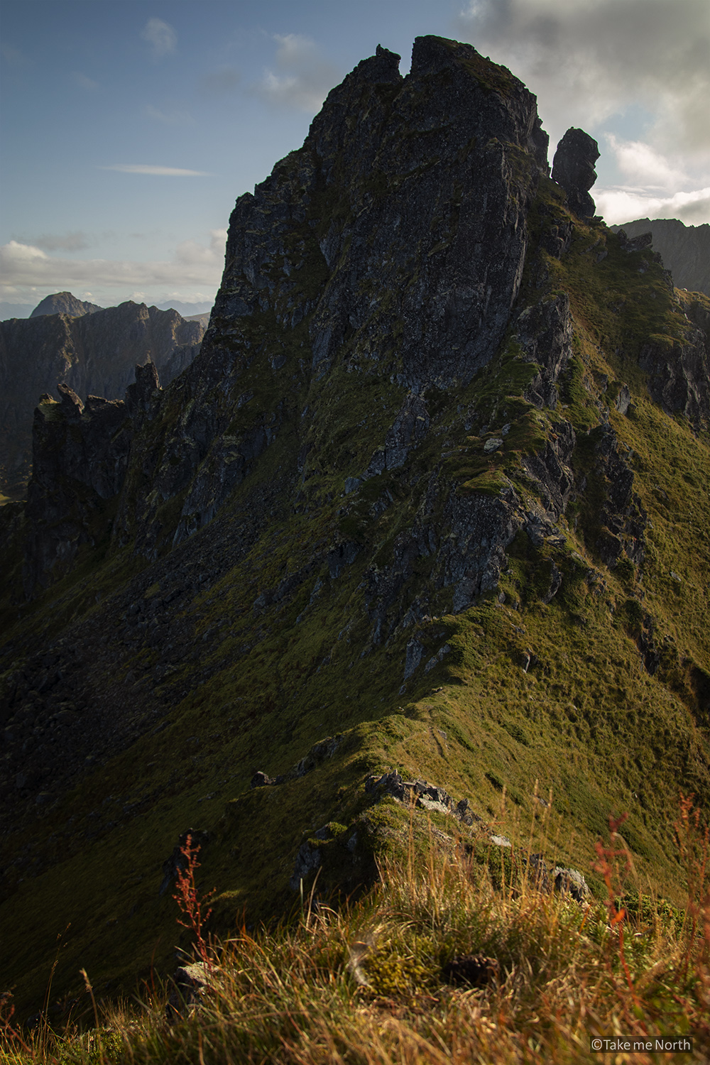
The rough peaks of Tanipa
Links: